
La Faye

neoroll44
Gebruiker

Lengte
9 km

Max. hoogte
139 m

Positief hoogteverschil
89 m

Km-Effort
10,1 km

Min. hoogte
104 m

Negatief hoogteverschil
88 m
Boucle
Ja
Datum van aanmaak :
2016-04-20 00:00:00.0
Laatste wijziging :
2016-04-20 00:00:00.0
2h20
Moeilijkheid : Gemakkelijk

Gratisgps-wandelapplicatie
Over ons
Tocht Stappen van 9 km beschikbaar op Nieuw-Aquitanië, Charente, La Faye. Deze tocht wordt voorgesteld door neoroll44.
Beschrijving
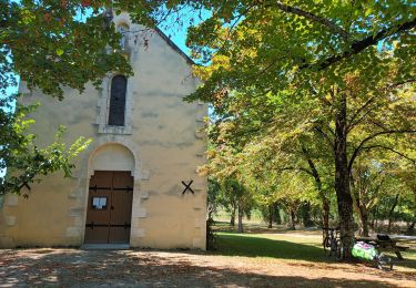
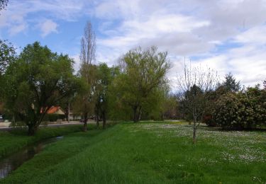
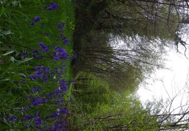
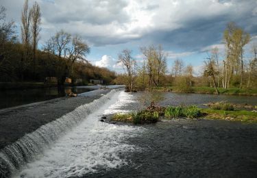
Circuit des tunnels (jaune). Départ au parking de la mairie. Vers l'aire de pique-nique, les tunnels sous la voie ferrée, le bois des Broues, Bois Joubert et le bois du Vignon.
Plaatsbepaling
Land:
France
Regio :
Nieuw-Aquitanië
Departement/Provincie :
Charente
Gemeente :
La Faye
Locatie:
Unknown
Vertrek:(Dec)
Vertrek:(UTM)
279066 ; 5100248 (31T) N.
Opmerkingen
Wandeltochten in de omgeving

Chassagne camping Melle


Mountainbike
Moeilijk
Villefagnan,
Nieuw-Aquitanië,
Charente,
France

62 km | 68 km-effort
5h 58min
Neen

Ruffec_Logis


Stappen
Medium
Ruffec,
Nieuw-Aquitanië,
Charente,
France

17,3 km | 19,7 km-effort
4h 20min
Ja

Ruffec_Forêt


Stappen
Gemakkelijk
Ruffec,
Nieuw-Aquitanië,
Charente,
France

8,5 km | 10 km-effort
2h 20min
Ja

Ruffec_Jardins


Stappen
Gemakkelijk
(2)
Ruffec,
Nieuw-Aquitanië,
Charente,
France

5,4 km | 6,2 km-effort
1h 30min
Ja

Villegats


Stappen
Medium
Courcôme,
Nieuw-Aquitanië,
Charente,
France

11,4 km | 13,6 km-effort
3h 0min
Ja

Bernac


Stappen
Gemakkelijk
Bernac,
Nieuw-Aquitanië,
Charente,
France

12,6 km | 14,6 km-effort
3h 20min
Ja


 SityTrail


